
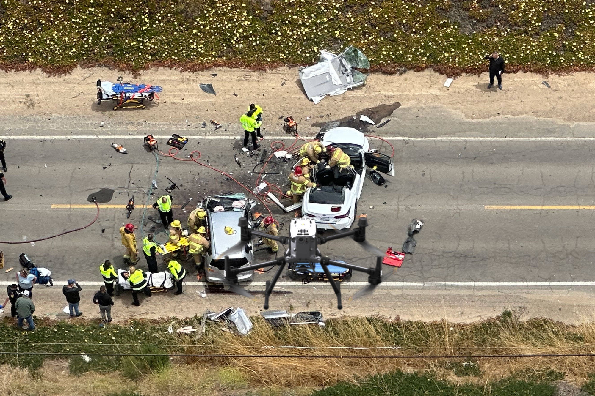

Winning a personal injury case requires clear, indisputable evidence. Our FAA-certified drone services provide high-resolution aerial images, orthomosaic mapping, and surveillance footage, ensuring lawyers and insurance adjusters have the precise documentation needed to support legal claims.
Traditional accident documentation methods lack precision and may miss critical details. Our drone-based personal injury documentation provides:
Captures the full accident scene with precise measurements
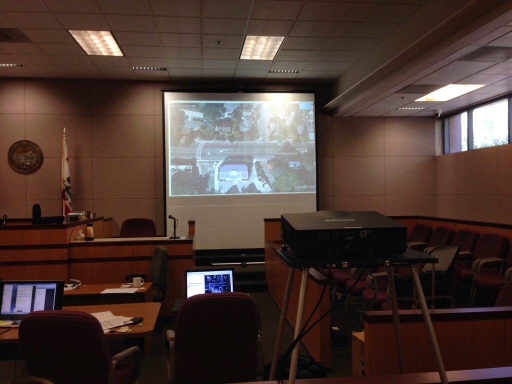
Creates detailed, to-scale maps for accident reconstruction
Provides time-sensitive aerial evidence for legal cases
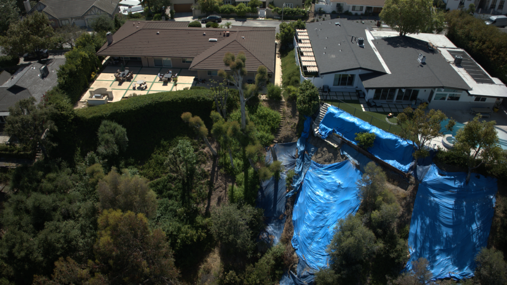
Documents staircases, walkways, and hazardous areas in high detail
Bringing Unmatched Precision to Personal Injury Claims
In personal injury cases, evidence is everything. Our drone technology provides clear, court-admissible documentation that can make the difference between a successful claim and a dismissed case. Here’s how our aerial documentation strengthens your case:

Traditional photos and reports often miss critical details. Our high-resolution aerial imaging and orthomosaic mapping provide a complete, to-scale view of accident sites, ensuring no detail is overlooked.
Example: A lawyer used our orthomosaic map to prove a hidden road defect caused the accident, leading to a higher settlement.
Drone imagery is time-stamped, GPS-verified, and cannot be altered, making it a powerful tool for legal proceedings.
Example: A personal injury attorney used our timestamped aerial footage to disprove a false claim of liability, saving their client from a costly lawsuit.
Expert testimony is far more persuasive when accompanied by clear aerial visuals. Our drone data enhances expert reports by:
Example: A jury was convinced of a defendant’s reckless driving behavior after seeing drone footage showing poor visibility and road conditions at the time of the crash.
With clear, indisputable aerial documentation, cases move faster and settlements tend to be higher.
Example: A client received 40% more in their settlement after their lawyer used our drone mapping to prove hazardous road conditions were a direct cause of the accident.
We provide comprehensive, high-tech personal injury documentation for law firms, legal professionals, and insurance adjusters. Our services include:
Ultra-precise aerial images stitched together for accurate road and site measurements.
Drone LiDAR and 3D mapping for precise accident reconstructions.
Captures weather, lighting, and conditions at the time of the incident.
Document accident sites from every angle.
High-resolution images of staircases, construction hazards, and unsafe conditions.
Captures how an accident occurred with time-stamped imagery.
A personal injury lawyer used our aerial accident scene reconstruction to prove driver negligence in a high-profile case. The detailed measurements and visuals provided:


Take Advantage of the Latest in Drone Technology
Don’t rely on outdated, low-quality evidence. Our personal injury drone documentation services provide clear, admissible, and precise aerial imagery. Contact us today for a free consultation and take the next step toward winning your case.
At Hover Works, we provide cutting-edge aerial documentation services tailored to your needs. From accident scene investigations to real estate marketing and construction site monitoring, our drone technology ensures precision, efficiency, and impactful results. Trust us to elevate your perspective with high-quality imaging and data-