Revolutionizing Data Collection for Surveying, Construction, and Land Development
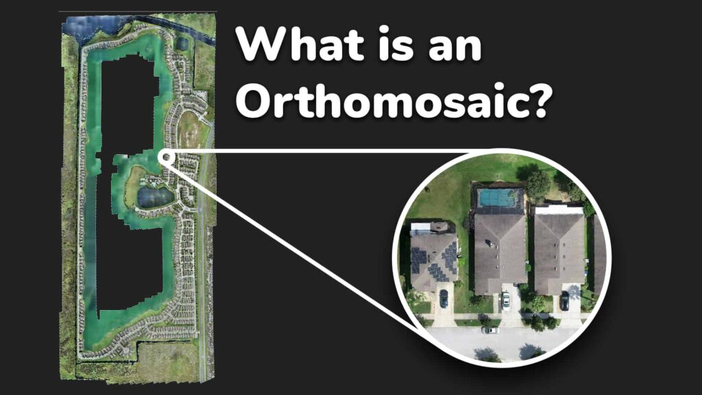
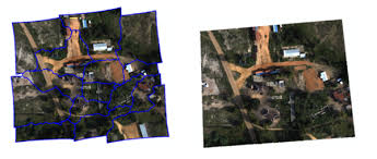
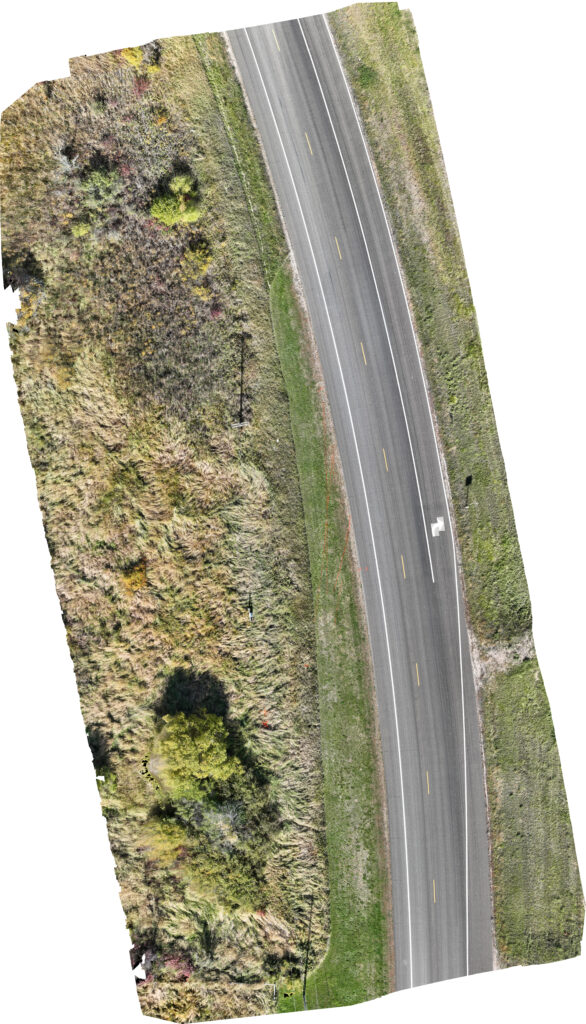
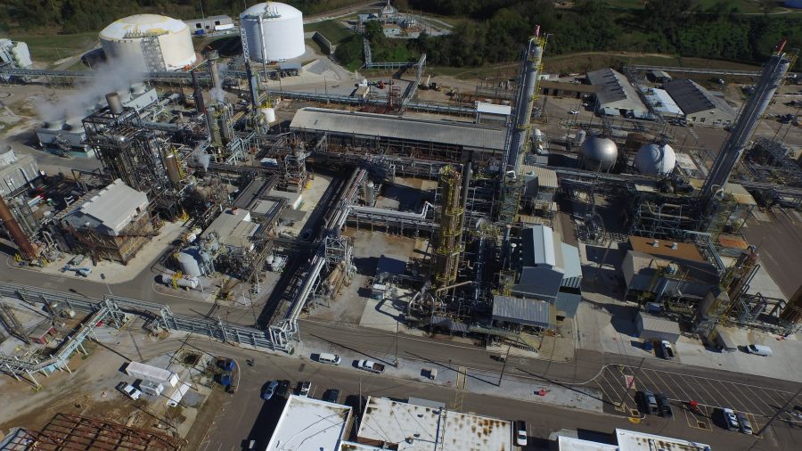
Orthomosaic imaging is a cutting-edge aerial mapping technology that stitches together hundreds of high-resolution drone images to create an accurate, georeferenced map of an area. This technology provides precise measurements and unparalleled detail for a variety of industries, from construction site management to agricultural assessments and infrastructure inspections.

Why Orthomosaic Imaging is Essential
1. High-Resolution, Accurate Mapping
Orthomosaic imaging captures detailed, distortion-free visuals of large areas, allowing professionals to make precise measurements, monitor progress, and identify potential issues.
2. Enhanced Land Surveying and Site Analysis
With advanced geospatial data, engineers and surveyors can accurately assess topography, elevation changes, and environmental conditions, streamlining project planning and design.
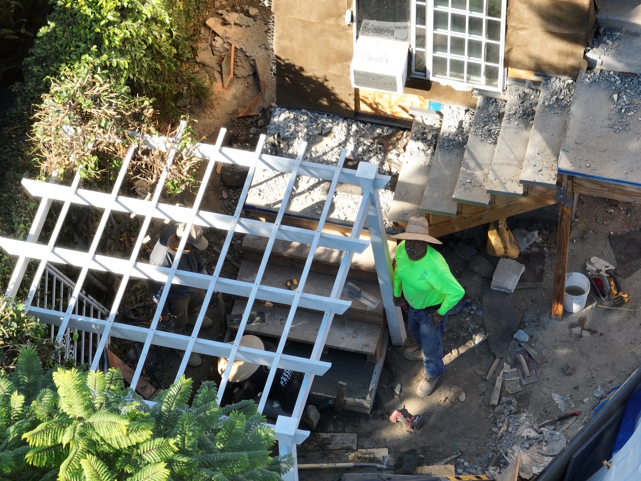
3. Improved Construction Management
Track construction progress in real-time, identify deviations from plans, and ensure compliance with safety and regulatory standards without disrupting site operations.
4. Agricultural and Environmental Monitoring
Analyze crop health, soil conditions, and land usage patterns with precision. Orthomosaic imaging allows for early detection of issues and helps farmers optimize resource management.
Our Orthomosaic Imaging Services
Comprehensive Data Collection for Various Industries
- Construction Site Mapping
- Track site development progress.
- Identify structural issues and land movement.
- Assess terrain and calculate material volumes.
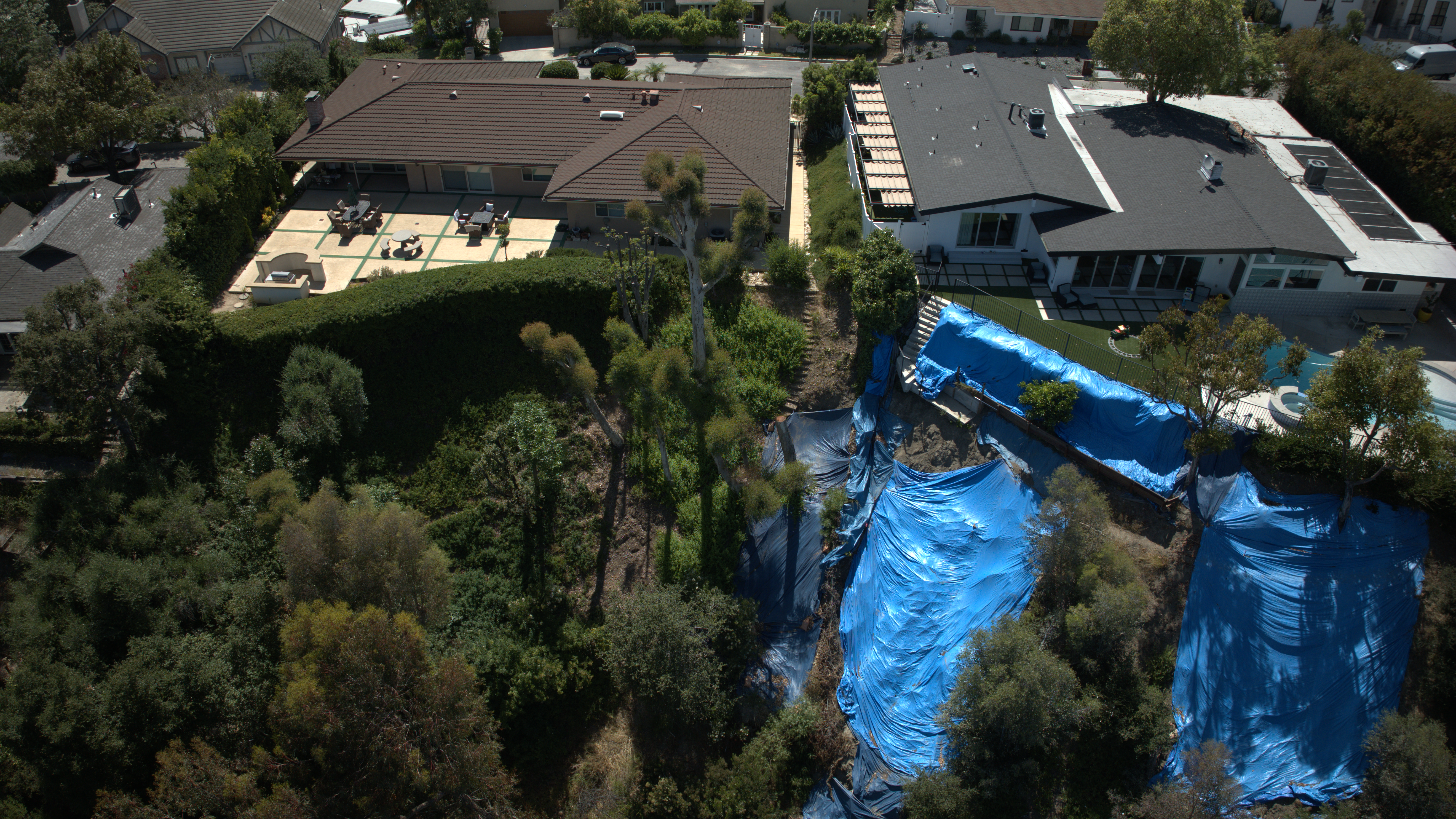
- Infrastructure Inspections
- Analyze bridges, roadways, and utility networks.
- Detect wear and tear on critical structures.
- Generate 3D models for better planning.
- Agricultural & Land Management
- Assess crop health and soil quality.
- Map irrigation systems and drainage patterns.
- Monitor environmental impact and land erosion.
- Urban Planning & Real Estate
- Conduct site analysis for new developments.
- Evaluate property boundaries and zoning compliance.
- Visualize land use and infrastructure layout.
Case Study: Improving Efficiency in Land Development Projects
A major land development firm utilized our orthomosaic imaging services to map a 200-acre site. With high-resolution data, they optimized site design, reduced excavation costs by 15%, and accelerated project timelines. The georeferenced maps allowed accurate planning and ensured compliance with local environmental regulations.
How Orthomosaic Imaging Transforms Your Projects
1. Accurate, Scalable Mapping Solutions
Capture large areas with pinpoint accuracy and create detailed, scalable maps for analysis and reporting.
2. Enhanced Decision-Making with Real-Time Data
Access real-time geospatial data to make informed decisions and reduce project risks.
3. Reduced Costs & Time-Saving Inspections
Eliminate the need for manual surveys and reduce costs associated with traditional data collection methods.
4. Increased Safety & Compliance
Monitor hazardous sites without putting workers at risk and ensure compliance with regulatory standards.